Geo

- S

Precision mapping, Infinite

Possibilities.

faro, scan, lidar, laser, kosova, kosovo, geodesy, survey

Precision Terrain Capture with Terrestrial LiDAR

Analyzing Cliffs and Landslides

more..

Driven by Technology

We are supported by a network of cutting-edge professionals and experts, ensuring that every project we take on is powered by the latest advancements in technology.

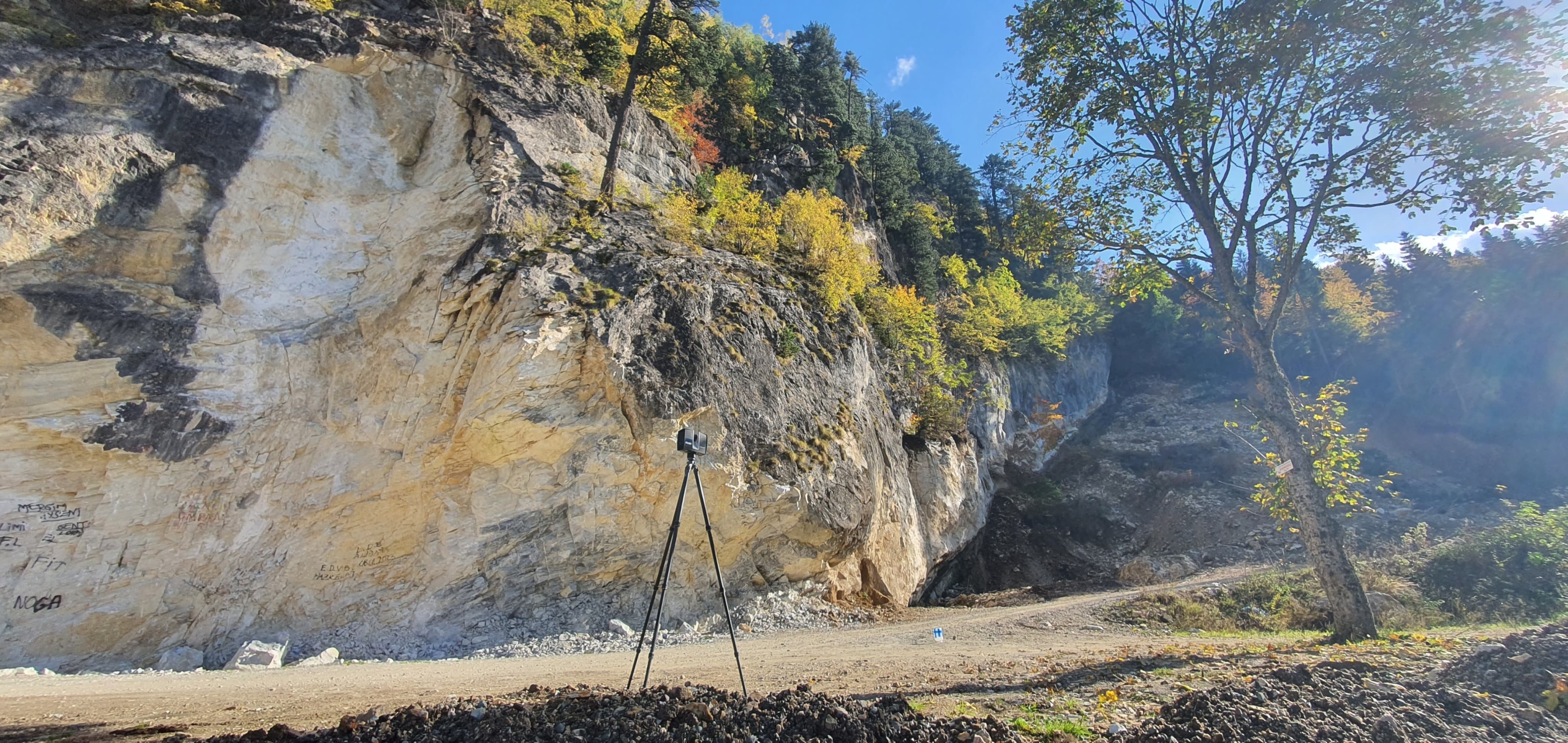
Precise Data Solutions

More than 16 years of experience and the right tools, we offer detailed and accurate data analysis, providing you with custom GIS and mapping solutions that align perfectly with your project requirements.

Personalized Approach

We collaborate closely with you to understand your unique needs, ensuring that each solution is customized specifically for your goals—no one-size-fits-all solutions here!

Harness the Power of Geospatial Data
And unlock valuable insights for communities and organizations

Efficiency begins with Land Surveying

Accurate and professional Land Surveying is the first and most crucial step to ensuring that every project runs smoothly and with maximum efficiency. Whether it’s construction, new mapping, or large-scale infrastructure projects, precise land surveying lays the foundation for success.

With cutting-edge technology and our expert team, we ensure that every detail is accurate and well-planned, allowing you to focus on achieving your goals. Efficiency truly begins with land surveying– and we’re here to make it flawless.

Make sure your project gets off to the right start.

Our Civil Surveying Services ensure your project starts with a strong foundation by leveraging advanced surveying technology and innovative planning solutions. We provide high-accuracy data and detailed project visualization, minimizing errors and eliminating unexpected issues. With our cutting-edge measurement techniques, you can build reliable infrastructure with confidence, ensuring efficiency, cost savings, and long-term stability.

Transform Data into Action with GIS & Mapping

Reliable GIS and mapping solutions are essential for precise planning, infrastructure development, and environmental management. Using cutting-edge geographic information systems (GIS) and high-precision mapping technology, we deliver detailed spatial data that enhances decision-making and boosts project efficiency.

From topographic mapping and land-use analysis to 3D terrain modeling, our expert team ensures that every dataset is accurate, reliable, and tailored to your needs. Whether you’re working on urban planning, infrastructure projects, or environmental assessments, our GIS & mapping solutions empower you to build smarter, faster, and with confidence.

From the Sky to Your Project: Actionable Aerial Data

Aerial data collection revolutionizes the way projects are planned, monitored, and executed. Using cutting-edge drone technology and high-resolution imaging, we capture precise geospatial data to enhance decision-making and improve efficiency.

From topographic surveys and 3D mapping to infrastructure inspections and environmental assessments, our aerial solutions provide detailed, real-time insights for a wide range of industries. Whether you’re in construction, agriculture, or urban planning, our high-accuracy aerial data ensures that every project is based on reliable and actionable intelligence.

Capture Every Detail with High-Precision Laser Scanning

aser scanning is the key to capturing incredibly detailed, accurate 3D data for your projects. Using state-of-the-art laser technology, we deliver precise scans that provide a comprehensive view of your project site, enabling you to make data-driven decisions with confidence.

Whether you’re working on architectural designs, infrastructure projects, or heritage preservation, our high-resolution laser scanning offers unparalleled accuracy and efficiency. With real-time data capture and digital modeling, you can ensure that your designs and builds are executed with precision.

Unlock Powerful Insights with Remote Sensing & SAR Technology

Remote sensing and SAR (Synthetic Aperture Radar) provide accurate, high-resolution data for a variety of industries. Remote sensing uses satellite imagery and aerial surveys for large-scale monitoring, while SAR captures detailed data regardless of weather or time of day, ideal for disaster management, infrastructure monitoring, and environmental assessments.

These technologies offer unmatched precision and flexibility, empowering you to make faster, smarter decisions for your projects.