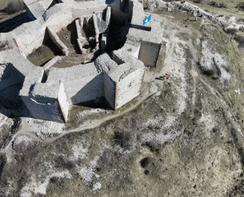
High-Resolution Aerial Surveys, Delivered with Speed and Precision
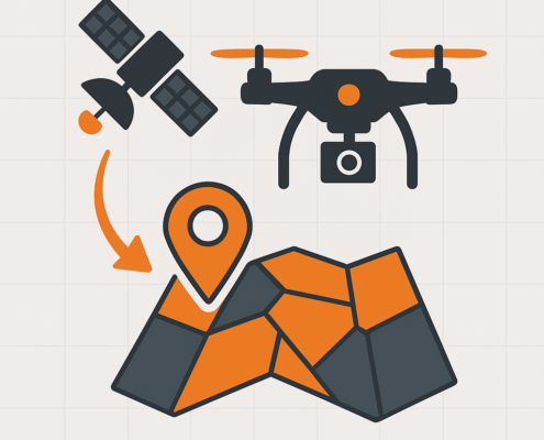
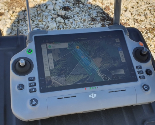
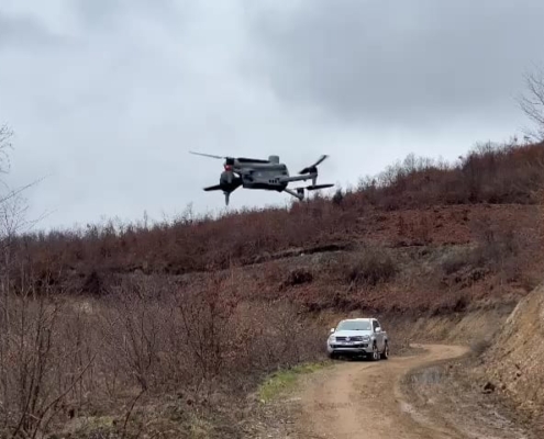
At GEO-S, we offer complete drone-based aerial data collection services, combining cutting-edge UAV/Drone technology with advanced geospatial analytics. From capturing orthophotos and terrain models to volume calculations and infrastructure monitoring, we provide fast, accurate, and cost-effective solutions for projects of every scale.
With industry-leading 1 cm/pixel resolution, our UAV / Drone deliverables rival traditional methods in both precision and turnaround speed — at a fraction of the cost.

